Ecoregions
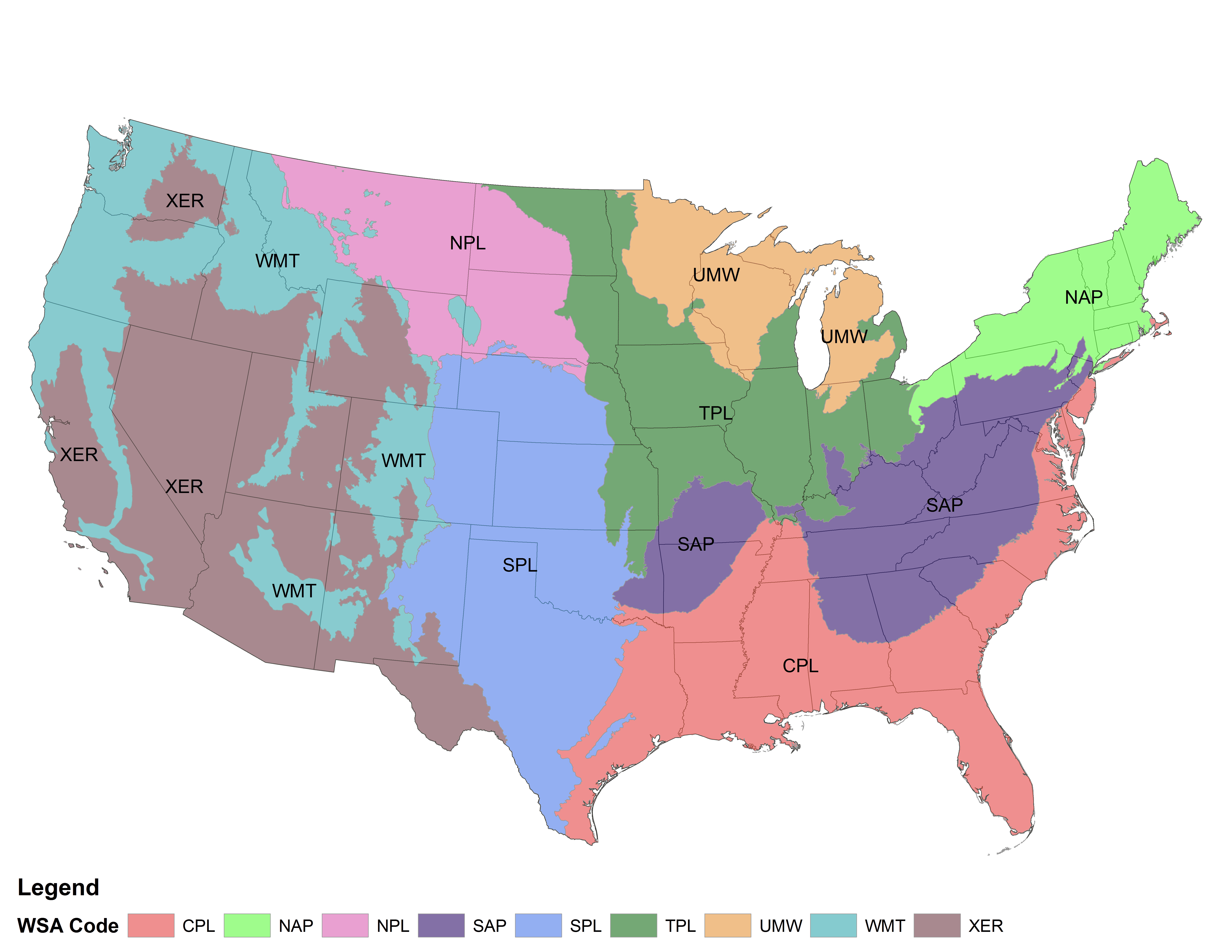
The RFHP uses the EPA's aggregated Level III ecoregions derived from the Wadeable Streams Assessment. We are working to make a more interactive map available, but if you are unsure where your reservoir falls, please feel free to download the following GIS layers:
- Western Mountains
- Xeric
- Northern Plains
- Temperate Plains
- Southern Plains
- Northern Appalachian
- Southern Appalachian
- Coastal Plains
- Upper Midwest
EPA Wadeable Streams Assessment ecoregions
Interactive/Searchable Map
Become a Contributing Sponsor
Become a part of projects that need your support.


