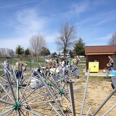
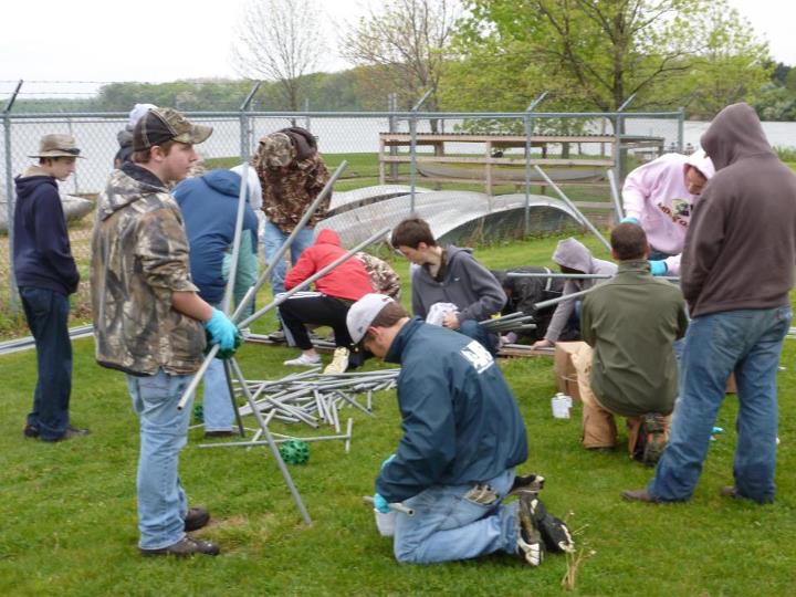
Photo Gallery
What FOR Is Doing
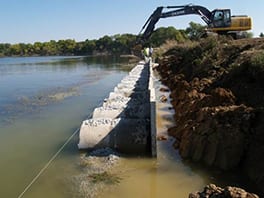
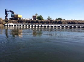
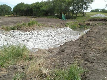
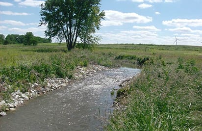
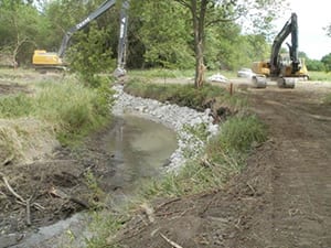
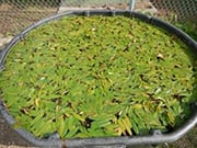
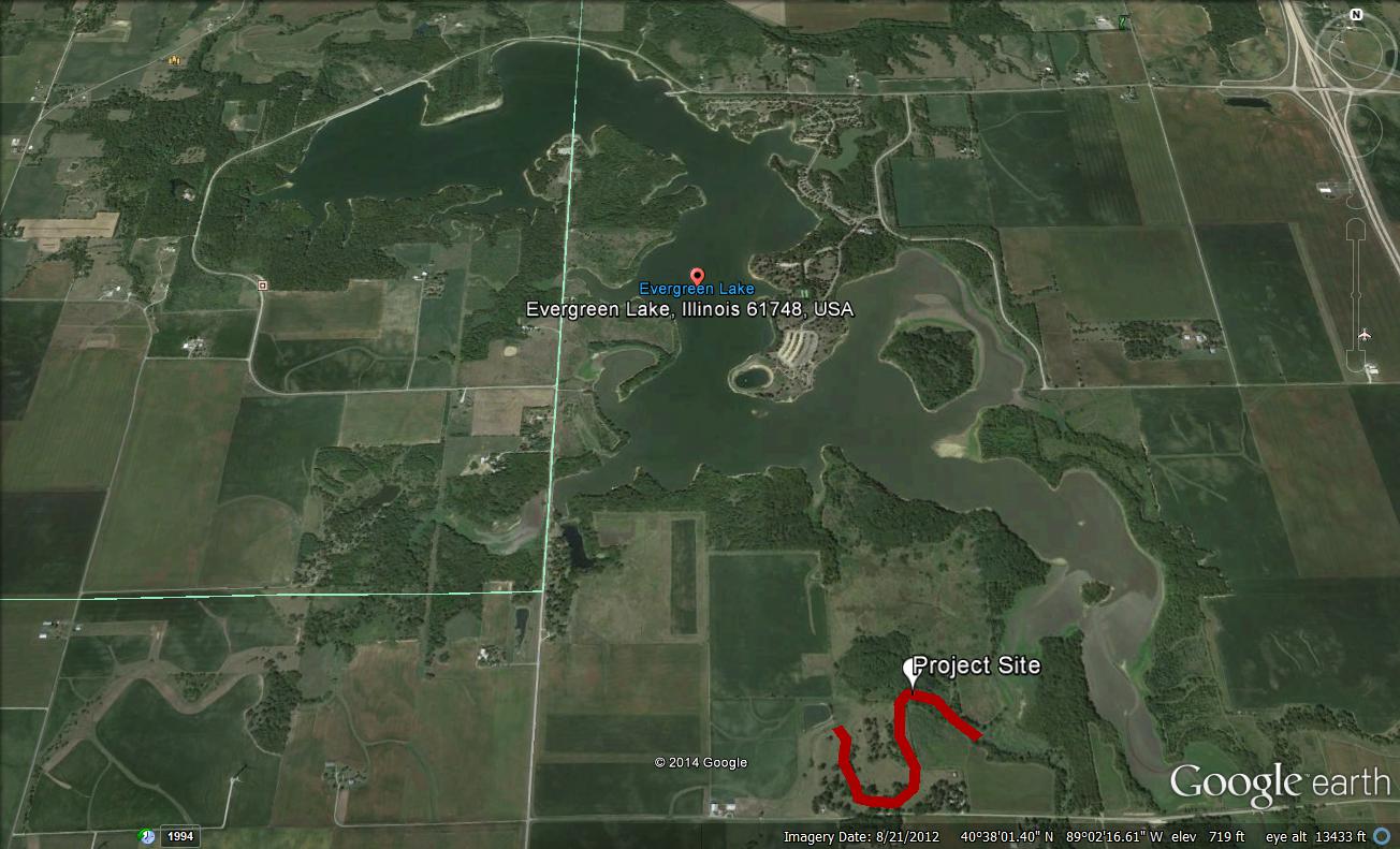
Friends of Reservoirs awarded Friends of EverBloom a $1000 Small Projects Grant to construct plant nurseries needed to reestablish native aquatic vegetation in Evergreen. FOR also provided $20,000 to help fund the streambank stabilization project to help reduce nutrient and sediment inflows.

City of Bloomington seeks public input on watershed management plan
The public is being asked for its input when it comes to improving the City of Bloomington’s water supply. The City asked for public feedback on the May draft of […]
How Bloomington-Normal is keeping nitrogen out of the water
Nestled in the county that in 2020 produced the most corn and the most soybeans in the nation and is host to the state's primary farm organization, Bloomington-Normal is closely identified […]